
Brownsville ZIP Code Coverage
Texas government material verifies five Brownsville mailing ZIP codes: 78520, 78521, 78522, 78523, and 78526. The research did not locate an official neighborhood-by-neighborhood polygon or a verified post-office station for each code, so the table does not guess at either. That restraint matters. A postal city name is a delivery convention, while the City of Brownsville and Cameron County use separate map and parcel systems.
| ZIP | Areas Covered | Post Office | Notes |
|---|---|---|---|
| 78520 | Brownsville mailing area; exact neighborhood polygon not located in official sources | Not located in official sources | Verify the street with USPS and compare the city-limit layer. |
| 78521 | Brownsville mailing area; exact neighborhood polygon not located in official sources | Not located in official sources | HOA certificate examples include Creekwood, Heron Cove, and Portofino. |
| 78522 | Brownsville mailing area; exact neighborhood polygon not located in official sources | Not located in official sources | Use USPS city and state search with the GIS ZIP layer. |
| 78523 | Brownsville mailing area; exact neighborhood polygon not located in official sources | Not located in official sources | Do not assume every mailing address is inside city limits. |
| 78526 | Brownsville mailing area; exact neighborhood polygon not located in official sources | Not located in official sources | HOA certificate examples include Brownsville Winter Haven, Fox Hollow, Hidden Valley, and Wildflower. |
No official Brownsville entry for 78524 or 78525 was found in the Texas government list. A ZIP can be useful for sorting a set of addresses, but the delivery label alone is not a city-jurisdiction finding or an address-history record.
Brownsville ZIP Code Source Gaps
The five verified codes are stronger evidence than a mapped guess, but some useful details remain unverified. No official source reviewed supplied station assignments, a historical split or realignment year, ZIP-specific population totals, or registration totals. The research also did not verify a PO-box-only or unique Brownsville ZIP. Treat those as open questions, not as facts to fill from a third-party ZIP listing.
For one address, use the United States Postal Service result and save the date of the search. Then compare it with the City of Brownsville map. For a historical address, retain the directory year, old spelling or number, parcel identifier, and legal description too. Postal geography can change, while an instrument or parcel record may use a different long-lived key.
The absence of a published local boundary table is useful information. It means a careful Brownsville search should document the source used for each address rather than transfer a broad delivery label from one parcel to another. A current postal answer can be correct for mail and still leave the city-limit, ownership, historic-address, and custodian questions unanswered.
Brownsville ZIP Code Map Layers
The City of Brownsville GIS is the practical local comparison tool. Its documented layers include ZIP Codes, City Limits, County Parcels, Address Points, Streets, Electoral Districts, and Zoning. Turn on ZIP Codes, City Limits, and County Parcels together, then inspect the address point. The map can show spatial context, but its published disclaimer says boundaries are approximate and not a survey. It is not title evidence.
The Brownsville GIS map hub is the source shown in this capture.
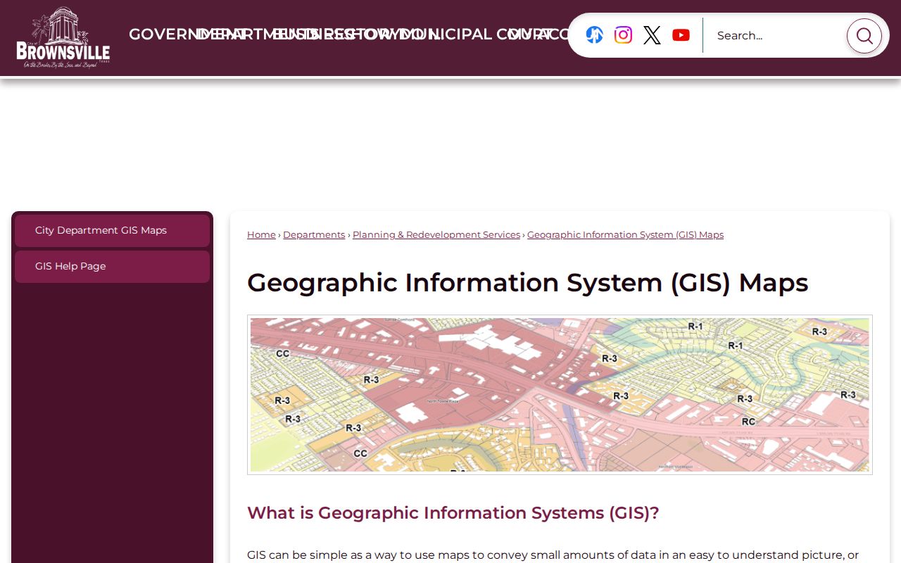
The GIS view is most useful when it places a ZIP polygon next to city limits and parcels before the search moves to a record custodian.
The map’s exact ZIP attribute query, result count, and export behavior were not exposed in the inspected material. Search one address rather than assuming the map will produce a complete ZIP-wide result set.
Brownsville ZIP Code Parcel Keys
Once a ZIP narrows the area, Cameron CAD is the parcel hand-off. Its documented property-search routes accept owner name, address, PID, and GEO ID. CAD does not confirm a ZIP-wide search mode, so it should not be described as a way to return every parcel in a ZIP. Use the GIS map to identify an address or parcel, then run the CAD search for that item.
Save the situs address, mailing address, PID or GEO ID, legal description, and search date. A mailing address may differ from the situs address, and neither field settles a municipal boundary by itself. A deed or historical record may rely on lot, block, tract, metes-and-bounds language, or a book and page rather than a current street number. Those parcel keys make the next record search more reliable.
Note: A ZIP label is a narrowing clue, while a parcel identifier and legal description support the property-record hand-off.
Brownsville ZIP Code Search Steps
Verify the delivery ZIP before looking at local records. The official USPS tool offers by-address, by-city-and-state, and by-ZIP modes. By-address search requires street address, city, and state; company, apartment or suite, and ZIP can be optional. A standardized USPS result does not confirm a person, company, or actual occupancy. It confirms postal addressing.
| USPS lookup mode | Fields supported in the research |
|---|---|
| By address | Company optional; Street Address required; Apt/Suite/Other optional; City required; State required; ZIP optional. |
| By city and state | City and State required. |
| By ZIP | ZIP required. |
The USPS lookup entry point appears in the captured reference below.
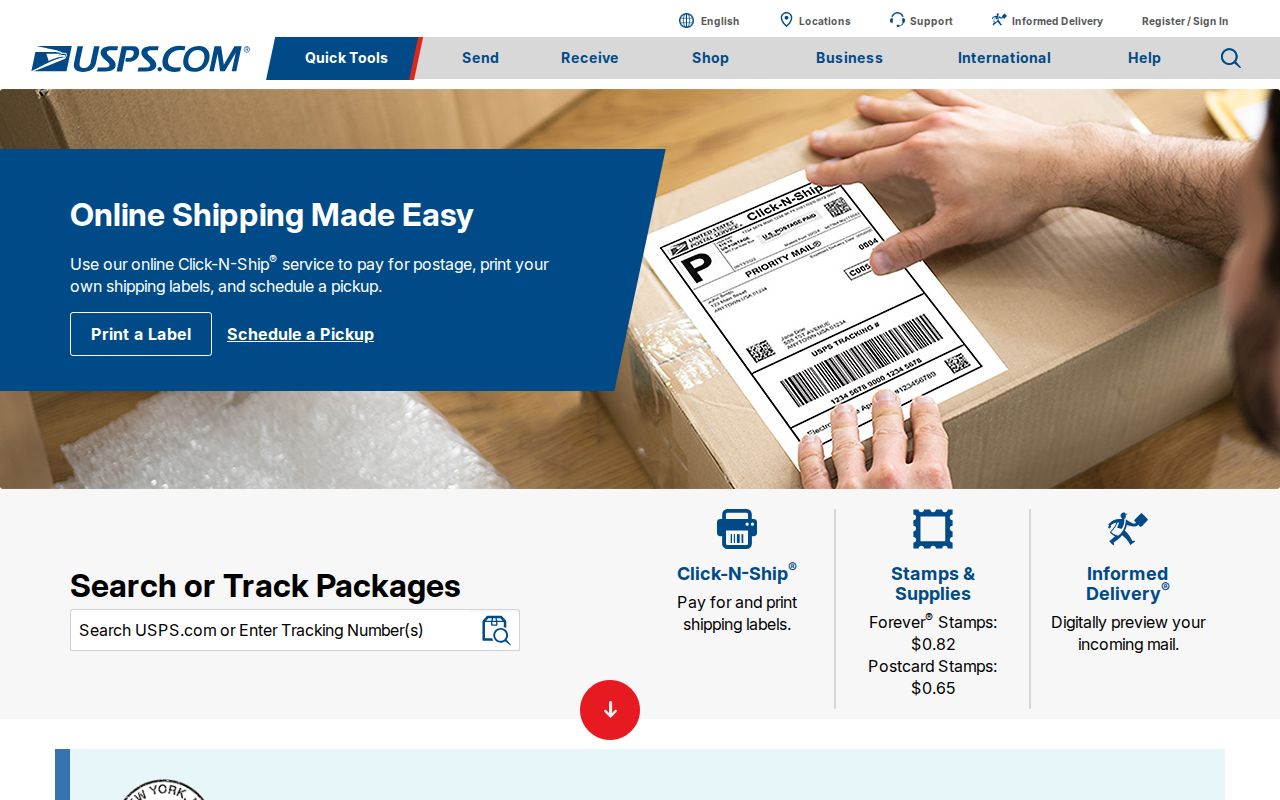
After USPS returns the address, use the GIS ZIP and city-limit layers, then CAD for a specific parcel. The public VoteTexas lookup is not a demonstrated ZIP-wide roster. A Texas voter-file request has mailing-address fields, but it requires a request, fee, affidavit, and compliance with Election Code limits.
- Enter the full address in the official USPS tool and save the returned ZIP and date.
- Open the Brownsville GIS layers for ZIP Codes, City Limits, County Parcels, and Address Points.
- Inspect the selected parcel in Cameron CAD by address, PID, or GEO ID.
- Use the County Clerk or another custodian only for the record needed next, such as an instrument or certified copy.
When a ZIP has narrowed the search to a street, the Brownsville street directory provides the address-focused record trail.
Brownsville ZIP Code Result Limits
A ZIP-wide result can include PO boxes, mailing addresses detached from a parcel situs, commercial parcels, outside-city delivery addresses, and duplicate accounts. It does not establish every household member, current occupancy, or whether a record falls inside the incorporated city. A CAD owner name, voter match, or court party should be treated as a record-specific connection, not a complete household list.
Texas voter data has its own boundaries. VoteTexas uses VUID, Texas driver-license or state ID, or first-and-last-name modes for a registration lookup. The broader voter-file request can filter Texas mailing addresses and contains address components, but its public-information form requires a requestor address and telephone, an affidavit or notary section, a deposit, and payment before release. Protected and confidential information remains excluded.
Brownsville ZIP Code Definitions
Postal and map terms can look interchangeable when they are not. The city GIS distinguishes ZIP Codes from City Limits, while CAD and the County Clerk use parcel and legal-record details. Keeping the terms separate avoids a false conclusion about a Brownsville address.
- ZIP versus ZIP+4
- A ZIP identifies a delivery area. ZIP+4 adds a smaller delivery segment for more precise mail sorting.
- PO-box ZIP
- A ZIP used for post-office boxes rather than proof of a physical parcel location.
- Unique ZIP
- A ZIP assigned to a single organization or large receiver; no verified Brownsville example was located in the research.
- Carrier route
- A delivery sequence used by postal carriers, not a municipal district or property boundary.
City-limit status should be checked on the GIS map, while the parcel and its legal description belong with CAD and the County Clerk. USPS delivers mail; it does not decide city jurisdiction or ownership.
Historical Brownsville ZIP Code Caution
Older directories and maps predate modern ZIP geography, so they should be searched by year, address, name, and the source’s own conventions. Brownsville has a documented 1913 to 1914 directory discrepancy between José Fernández’s alphabetical and street-section address. That example shows why an old street number should be compared with a later directory, Sanborn map, GIS address point, CAD parcel key, and deed record instead of being forced into a modern ZIP.
Authoritative sources list Brownsville Sanborn editions from 1877 and 1914, 1919, 1926, 1930, and 1949. The Brownsville Herald archive can combine people, places, events, city, title, and date. Use those materials as historical address evidence, then record the map sheet, publication date, parcel key, and custodian. The exact historical ZIP split or realignment year was not located in official sources.
Brownsville ZIP Code Record Notes
Four questions keep a ZIP-based inquiry straight: which ZIP USPS assigns to the delivery address, which polygon the GIS displays, whether the parcel is inside Brownsville city limits, and which county or CAD jurisdiction holds the record. Those answers can differ. Write down the portal, date, ZIP, address-field type, and whether the displayed person is an owner, registered voter, filing contact, permit applicant, or historical directory occupant.
If a result looks wrong, ask the proper custodian to correct it. CAD handles parcel and mailing data; the County Clerk handles deed or index matters; Elections handles voter information; city offices handle their own permit metadata; USPS handles delivery-address standardization. The Texas Public Information Act is available for specific governmental records, but confidential information and record-specific access rules still apply.